
Lower Paxton ZIP Code Directory Coverage
Lower Paxton Township is served by five ZIP codes, not one municipal ZIP. Its postal labels are often Harrisburg-style, though a listed address can sit in Lower Paxton, the City of Harrisburg, or another nearby municipality. County polling-place material supplies Lower Paxton examples in 17109, 17110, 17111, and 17112, while a Township document gives a Hummelstown 17036 address. Those are useful geographic examples, not a municipal boundary map or a resident list.
| ZIP code | Lower Paxton evidence | Postal city label | Search note |
|---|---|---|---|
| 17036 | Small southeastern and eastern overlap; a Township document uses 7500 Devonshire Heights Road. | Hummelstown | Crosses municipal boundaries. Verify the full address with USPS. |
| 17109 | Township Municipal Center, East Shore Area Library, Colonial Park and Progress-side precinct sites. | Harrisburg | The largest visible Lower Paxton mailing pattern; extends into nearby municipalities. |
| 17110 | Blue Ridge Apartments, the Lower Paxton 25th precinct location. | Harrisburg | Small northern and western township overlap, not a municipal line. |
| 17111 | South Side Elementary and CD East Middle School precinct examples. | Harrisburg | Also crosses South Hanover, Swatara, and other areas. |
| 17112 | Linglestown, Paxtonia, and many north and east precinct examples. | Harrisburg | The label extends beyond township territory. |
The ZIP code directory is a postal geography tool. It should narrow an address question, then hand the municipal confirmation to the property record and parcel identifier.
Lower Paxton's Five ZIP Codes
Each serving ZIP code overlaps a different part of the township's development pattern. Colonial Park and the Township center appear in 17109 examples. Linglestown and Paxtonia occur in 17112 examples. The smaller 17110 and 17111 overlaps demonstrate why a Harrisburg label alone does not resolve municipal location. The 17036 example is a further reminder that Hummelstown postal geography can reach into Lower Paxton.
The Census profile describes Lower Paxton as a large suburban township east of Harrisburg, with 53,501 people at the 2020 Census and a July 1, 2025 estimate of 55,564. Those figures explain why a surname or postal-city search can produce ambiguity. They do not create a ZIP-wide resident directory or change the need to confirm a specific parcel.
The Census QuickFacts profile for Lower Paxton Township is shown below.
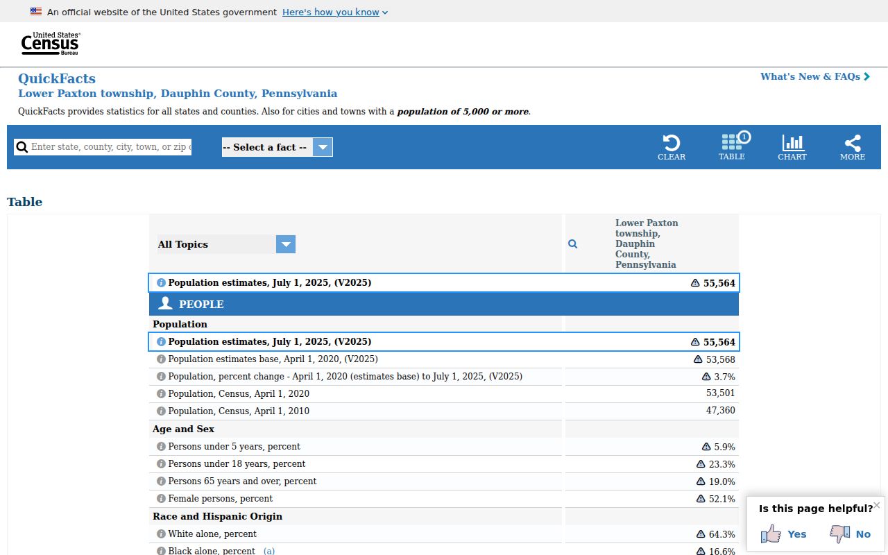
Use population context to expect same-name results, not to infer that a particular person is present at an address.
Lower Paxton ZIP Code Geography
USPS offers the official ZIP Code Lookup with By Address, By City and State, and Cities by ZIP Code modes. An address lookup requires a street address with city and state, or a street address with ZIP. A City and State search returns ZIPs for that postal city. USPS cautions that its standard form may differ from the submitted wording and that a result does not confirm that a person or organization is actually at the address.
| By Address | Use a street address plus city and state, or a street address plus ZIP, to standardize postal information. |
|---|---|
| By City and State | Use the postal city and state to retrieve the ZIPs USPS associates with that city label. |
| Cities by ZIP Code | Use a ZIP to view its postal-city relationship, not a municipal boundary decision. |
| County parcel check | Use the complete address or parcel details in Dauphin County Property Tax Inquiry to confirm municipality and UPI. |
A Harrisburg, Pennsylvania return needs a second check. Match the address to the County Property Tax Inquiry municipality field and UPI, then use the recorded deed or map only for its documented purpose. Postal standardization is not an ownership or household finding.
Note: Keep the USPS-returned address format alongside the submitted version when later searching county, deed, or archive records.
Verify a Lower Paxton ZIP Code
A ZIP-focused search works best as an address-normalization workflow, not as a broad people search. No local portal inspected documents a ZIP filter for all county parcel owners or all township residents. Dauphin County Property Tax Inquiry accepts parcel, owner, street, sales, and advanced Municipality, Neighborhood, construction, and property-class filters. It does not expose a ZIP field. SmartGov shows Parcel Search on its landing page but no documented ZIP filter.
- Run the known street address through USPS ZIP Code Lookup and record the standardized return.
- Search that complete address in Dauphin County Property Tax Inquiry and confirm that its municipality is Lower Paxton Township.
- Record the parcel's Property ID or UPI, plus the situs address and displayed deed reference.
- Use the UPI or legal description with the Recorder when a documented ownership or deed question remains.
- For a street-by-street record trail after the address is resolved, use the Lower Paxton street directory.
This sequence makes the ZIP code useful without claiming that it can reveal everyone in a postal area. A current owner, an owner mailing address, and a resident are different roles in the underlying records.
Lower Paxton ZIP Code Search Limits
Several official tools use ZIP information for limited tasks, but none is a general postal-area roll. UJS Case Search includes Parcel Zip Code in property-related case search modes, which searches cases rather than all addresses in a ZIP. Pennsylvania's voter status tool is for an individual's registration status, not a street or ZIP browser. Formal voter-list requests have statutory access and use conditions and should not be recast as a general people directory.
Pennsylvania State Police Megan's Law provides a ZIP-oriented search entry for the public safety registry's statutory scope. It is not a complete safety, neighborhood, or resident record. Its warnings and use limits still apply. The ZIP directory should therefore lead with official address normalization and parcel confirmation, rather than confusing any specialized search with a local household list.
The official Pennsylvania State Police ZIP search entry is pictured below.
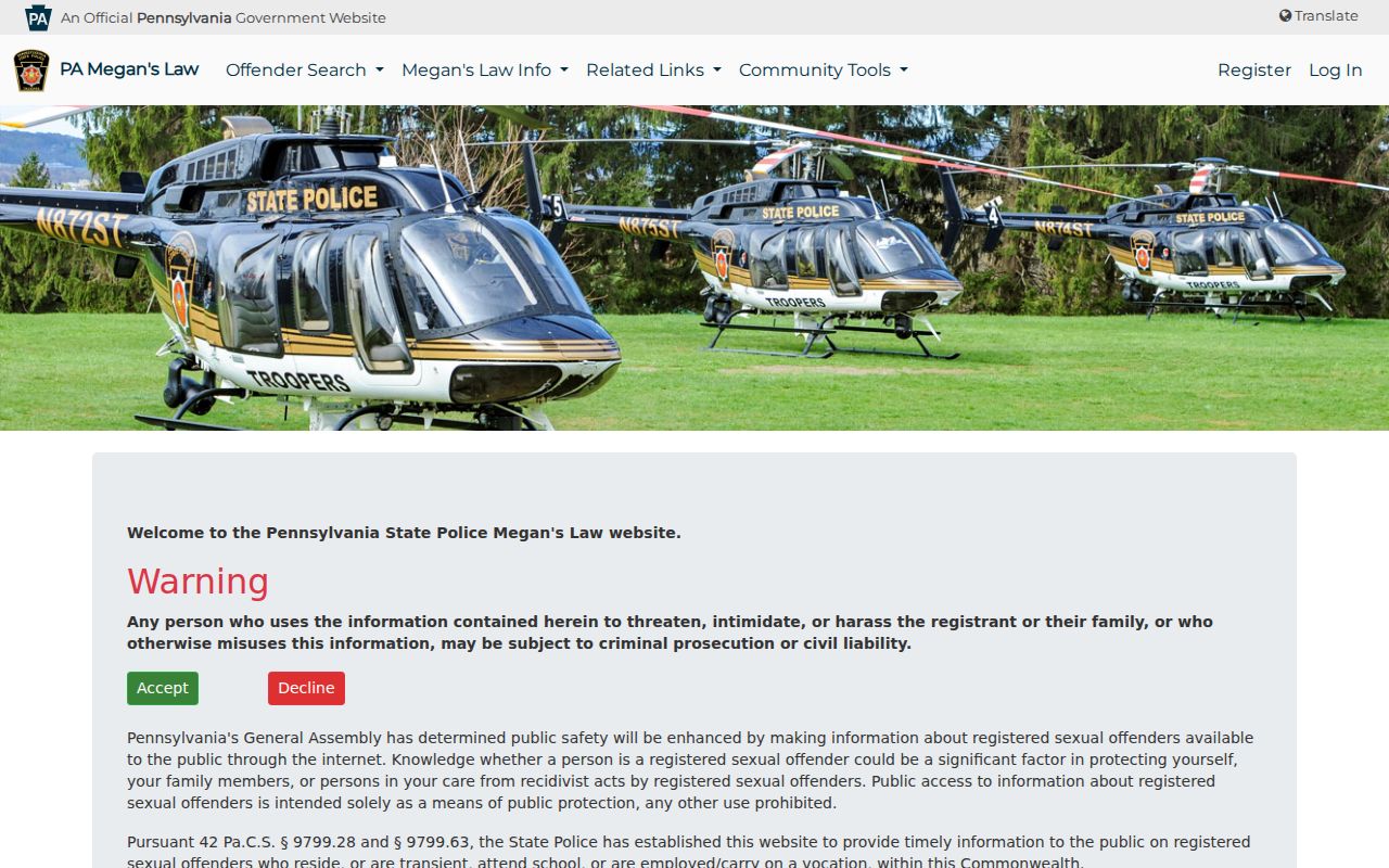
The capture illustrates a scope-specific official interface, not a source for identifying ordinary residents by ZIP code.
Lower Paxton ZIP and Parcel Fields
Address research becomes more reliable when the postal layer is separated from the parcel layer. A situs address is the physical parcel location. A mailing address is where correspondence goes and can be different. A legal description identifies the lot, block, subdivision, or metes-and-bounds description used in the recorded document. A UPI identifies the county parcel and stays tied to the tax map even when the owner changes.
- ZIP Code
- A postal routing code. It can cross township and city borders and does not determine municipal jurisdiction.
- ZIP+4
- An added delivery segment used for more precise mail routing; it is not a parcel identifier.
- Carrier route
- A postal delivery grouping, not a public resident roster or a municipal district.
- PO-box ZIP
- A postal code used for post-office-box delivery; it does not establish the location of a physical parcel.
- Unique ZIP
- A postal code assigned to one addressee or organization; no such Lower Paxton ZIP was identified in the research.
- UPI
- The county parcel number that bridges assessment, tax-map, and recorded-real-estate records.
For conveyances filed after May 2009, the county requires a certified parcel number on the face of a real-estate document. That makes UPI a durable bridge when the ZIP, postal city, or street presentation changes.
Harrisburg Labels in Lower Paxton
The Harrisburg postal label is the central local trap. Harrisburg is the county seat west of the township, but a Harrisburg mailing address may sit in Lower Paxton or another municipality. County GIS and Property Tax Inquiry provide the next factual check because they associate a parcel with municipality and identifier. The GIS layer is a reference map, however, and its published description says it should not determine legal ownership or market value.
The Lower Paxton Agenda Center is another public municipal context source. Its searchable agendas and approved minutes can identify a project, applicant, or subdivision discussion, but they are institutional records rather than a current directory. For a township file not available online, Lower Paxton's Right-to-Know process is the documented fallback.
The Agenda Center is captured here as a public municipal-records channel.
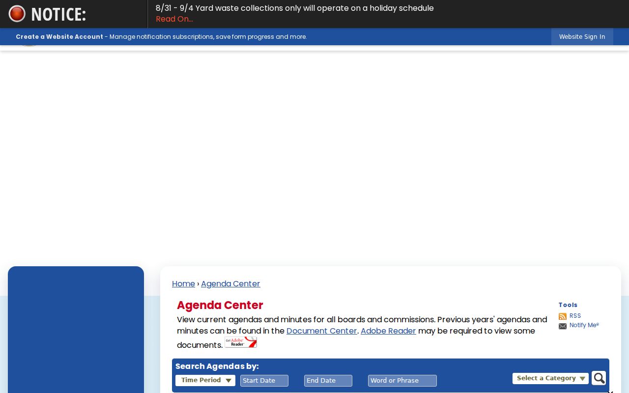
Use a postal label to find the right address context, then use the actual public record series that matches the question.
Lower Paxton ZIP Code Boundaries
ZIP boundaries and municipal limits serve different systems. Lower Paxton's documented 17109, 17110, 17111, and 17112 examples use Harrisburg postal labels, while 17036 is Hummelstown-labeled. The postal city can be useful for mail, yet it must not override the township municipality carried by county records. A search request that uses only a city name or ZIP can miss the township relationship or include a nearby municipality.
Where a requested record is not online, Pennsylvania's Right-to-Know Law, Act 3 of 2008, provides the local process for identifiable nonexempt Township records. The request should name the address, parcel, record type, and date range rather than ask the Township to create a ZIP-wide resident compilation.
Note: A missing parcel result can reflect an address-format issue or a cross-boundary mismatch, not the absence of an address.
Lower Paxton ZIP Code History
Postal geography sits over a much older local map. Lower Paxton began as Paxton in Lancaster County, was renamed in 1767, and became part of Dauphin County when the county formed in 1785. Linglestown began in 1765 as the Town of St. Thomas, while Paxtonia and Colonial Park are twentieth-century developments. That timeline helps explain why an older record may use Paxton, Lancaster County, Linglestown, or Harrisburg terminology instead of a modern ZIP code.
For a modern Colonial Park or Paxtonia address, begin with contemporary parcel, deed, and subdivision records. For Linglestown, test historic town and road names and the Historical Society's directories and maps. The ZIP code directory is most useful when it leads from a current postal form to the geographic vocabulary of the period being researched.