
Searching Lower Paxton Township Streets
A Lower Paxton Township street directory search is a record chain: address, parcel or UPI, current owner of record, recorded instrument, and then older address material. Property Tax Inquiry is the first stop because it supports an address and street-segment search. The mapped parcel then gives a stable identifier for Recorder work. This distinguishes an address-based inquiry from a claim that a public source lists every person who may be connected with that location.
- Search the exact address in County Property Tax Inquiry, then record the situs address, Property ID, owner of record, mailing address, and deed reference.
- When walking a Lower Paxton street, use House Number Low and High plus Street Name, and select Lower Paxton Township to narrow a segment.
- Open the County Parcel Viewer, locate the parcel, and use its UPI or map label as a cross-check rather than treating the map boundary as proof of ownership.
- Search the UPI or party name in Recorder Acclaim, noting the grantor, grantee, instrument number, recording date, and legal description.
- For a past printed address, check whether a Harrisburg directory volume includes a street-number section and Lower Paxton coverage.
Each step answers a narrower question. Current owner, recorded party, printed directory occupant, and public voter record are different roles. That distinction keeps a Lower Paxton Township by-street search useful and fair.
Note: Record the source date and role before treating a name as part of an address trail.
Lower Paxton Township Street Directory Fields
Dauphin County Property Tax Inquiry asks for at least one search criterion. The portal recommends a parcel number when it is known. For a street search, the documented method is house number and street name without a directional or suffix. House Number Low and House Number High can cover a segment, and the municipality selector can limit results to Lower Paxton Township. The portal does not provide a ZIP field, so it is not a documented ZIP-wide ownership search.
| Search field | Use for a Lower Paxton street | What to record |
|---|---|---|
| Parcel Number | Best direct parcel route | UPI or Property ID for Recorder and map work |
| House Number Low / High | Checks a stretch of a named road | Results parcel by parcel |
| Street Name | Pairs with the address numbers | Enter without directional or suffix |
| Townships/Municipalities | Restricts the search to Lower Paxton | Confirms township instead of postal city |
| Owner Name | Tests an owner-of-record hypothesis | Current owner role, not a complete household |
| Sale and physical filters | Narrows by date, price, neighborhood, or class | Transfer details to verify at Recorder |
The Tax Assessment capture leads to the office that maintains the records behind the address search.
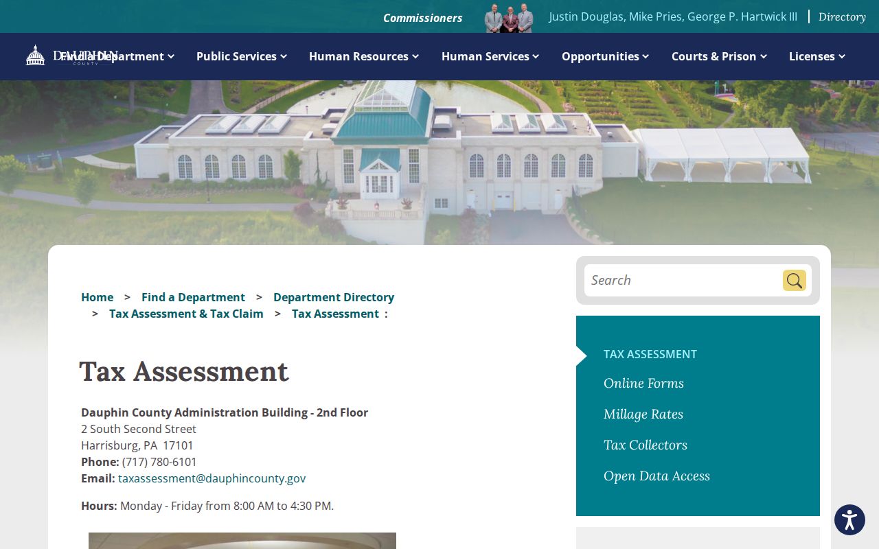
Assessment records are open for public inspection, and the county says in-person information is available without charge. The property card can also contain lot, building, and deed-reference details.
Lower Paxton Township Street Parcels
The County Parcel Viewer is the map part of a Lower Paxton Township address search. Find the address, zoom to the parcel, select it, and carry the map label or UPI back to Property Tax Inquiry. The County GIS landing page describes interactive maps as reference-only and continually updated. Its underlying PASDA parcel service describes graphical parcel representation derived from survey maps, deeds, subdivision plans, and condominium plats, but specifically says it should not determine ownership or market value.
The Dauphin County GIS capture provides the county's mapping entry point for a Lower Paxton Township address.
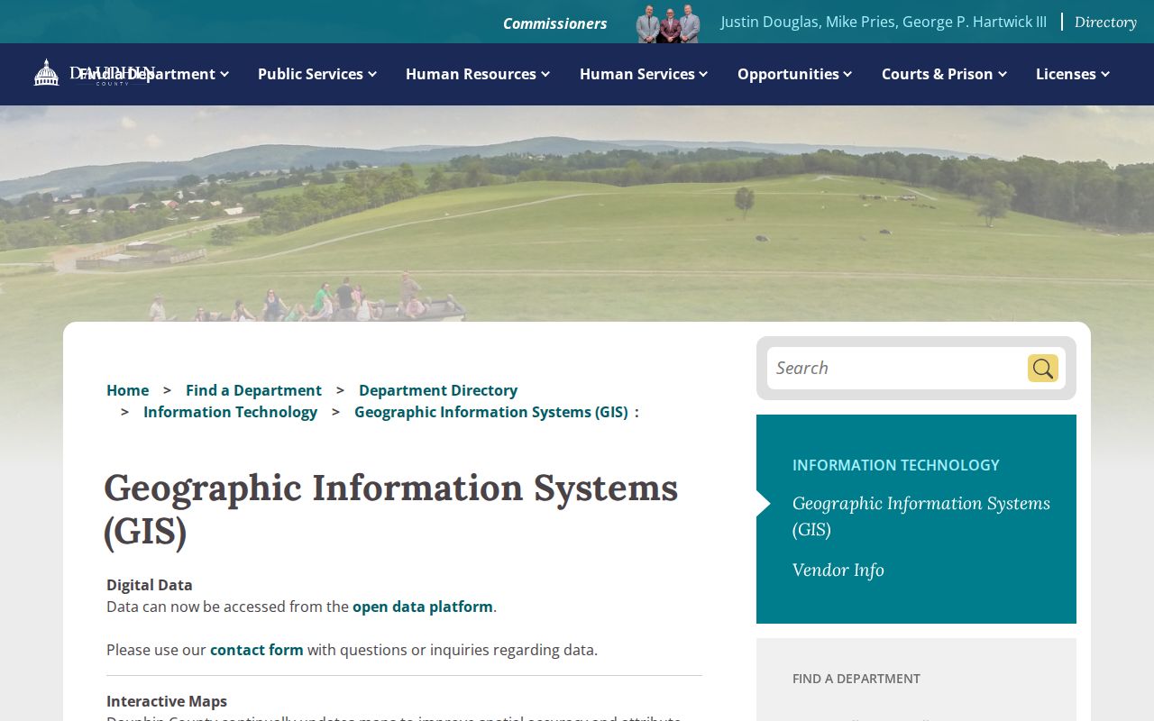
GIS data can show streets, parcel outlines, and nearby planning context. It cannot decide title or establish that a named individual occupies a parcel.
- Parcel
- The mapped piece of real estate identified by the county's Property ID or UPI.
- Situs address
- The physical address of a parcel, unlike a correspondence address for the owner.
- Plat or plan
- A recorded map of lots, streets, or other development details.
- Criss-cross directory
- A printed directory's street-number section, if that year and geography are included.
Note: Map geometry helps locate a parcel, while assessment and Recorder records establish the record trail to inspect.
Lower Paxton Township Street Directory Records
Several record sets can be keyed to an address or parcel, but each says something different. Start with the county property record for the current parcel and owner of record. Use the Recorder to inspect a conveyance or plan. Township SmartGov and agendas can show a public project or notice, subject to what is available. Formal voter-list access is a separate Election Code process, and it should never be confused with the state's individual registration-status tool.
| Address-keyed source | What it can answer | Lower Paxton access route | Limit |
|---|---|---|---|
| Property Tax Inquiry | Current parcel, owner of record, mailing and situs addresses, UPI | County portal and Tax Assessment counter | Owner is not a full household list |
| Parcel Viewer | Parcel shape, street placement, and map context | County GIS / Parcel Viewer | Reference mapping only |
| Recorder Acclaim | Grantor, grantee, instrument, date, and legal description | Recorder public search and counter | Recorded role, not occupancy |
| SmartGov or Agenda Center | Permit, notice, application, or meeting context | Township portal or records request | Public availability varies |
| Voter street or walking list | Registered-elector list fields where the formal request permits | Election officials and state form | Statutory use restrictions apply |
| Historical directories | Printed name and address in a publication year | HSDC or DCLS East Shore | Verify the volume covers the township |
The County property-tax resources capture leads back to the property-record system used in the first part of an address search.
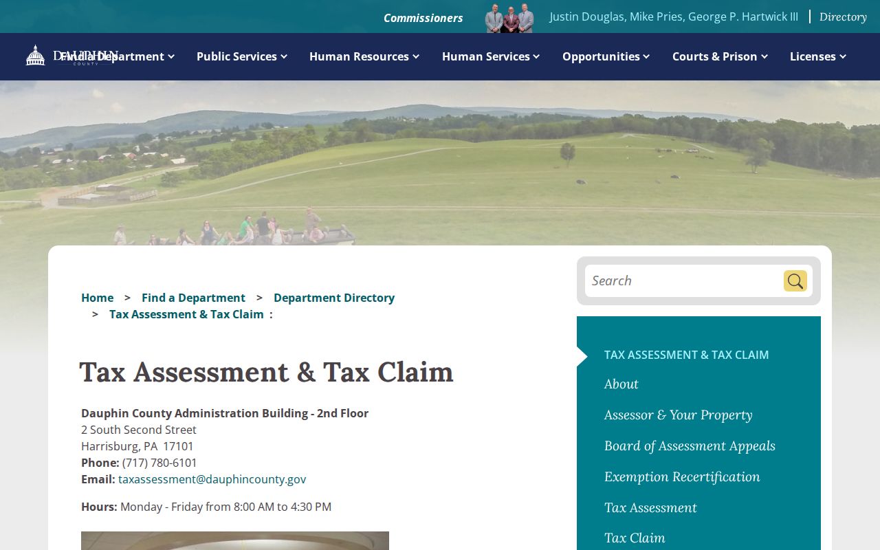
Use the county's live guidance for a current record question, especially where a new parcel or recently processed change may not be reflected in an older result.
Note: A public portal result is strongest when it is checked against the named county custodian.
Lower Paxton Township Street Deed Chain
The Recorder does not document a street address as its primary search mode. A better Lower Paxton Township street directory method is property address to UPI, then UPI or party name to the Dauphin Recorder Acclaim index. Acclaim offers Name, Instrument Number, document type, Book/Page, record date, consideration, UPI Number, municipality/comments, and Alpha Index. Its current information says deeds and miscellaneous documents reach from 1785 to the present, with mortgages from 1979 to the present.
Read a conveyance in sequence. The current deed identifies the grantee, the prior owner is usually the grantor, and that former owner can be searched as an earlier grantee. Compare legal description, lot or block, UPI, book/page, date, and instrument number at every step. Plans, easements, restrictions, and subdivision documents may explain why several parcels share a street or development. A specific deed filter is a useful start, but corrected deeds and related plan or easement records may matter too.
The Recorder name-search capture shows the official index route used after an address has been converted to a parcel or party search.
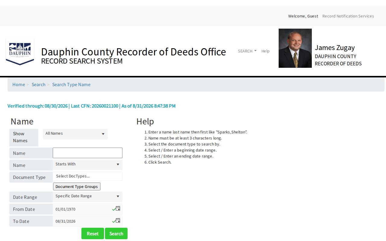
The official record remains at the Recorder's office. A name index hit should be verified with the document, its recorded role, and the parcel identifiers.
Lower Paxton Township Street Permit Records
Lower Paxton SmartGov provides the public route for permits, inspections, licenses, notices, parcel search, reports, documents, requests for information, and concern reports. It is the right first channel for a street address linked to building, occupancy, zoning, stormwater, or code material. The landing page does not show a universal historical-permit grid, so do not assume every earlier file can be searched as a public result.
When a file is absent from the portal, give Community Development or the Township a precise address or parcel, the record type, and a date range. The Agenda Center can be searched for approved minutes, applications, engineers, owners, projects, and public hearings. Approved minutes are the official municipal record rather than meeting video. A written Right-to-Know request is the next route for an identifiable non-exempt record not found online.
Lower Paxton's current policy says a normal written Right-to-Know response is due within five business days. Written specificity matters because the Township does not have to create a record or reorganize data into a requester-designed address list.
Lower Paxton Township Street Directory History
For a past printed address, consult the Historical Society of Dauphin County and East Shore Area Library rather than assuming an online address history exists. HSDC lists Harrisburg City Directory volumes from 1839 through 1999 with gaps. East Shore keeps Harrisburg City Directories from 1861 through 1901 on microfilm. Some volumes have a second listing by street number, which is the most useful historic local tool when the person name is unknown.
Harrisburg directory titles can include nearby towns or suburbs, but they do not prove that every Lower Paxton Township street appears in every year. Check geographic scope in the front matter. Copy the printed name, address, and any occupation or widow notation exactly, then compare nearby years and released census or recorded deeds. The historical holdings are treated in depth in the Lower Paxton Township city directories.
Note: A missing directory entry can reflect scope, a name variant, a move, or a business-only listing.
Lower Paxton Township Street Record Eras
Lower Paxton Township does not follow one simple urban street grid. Linglestown Road, now PA Route 39, is the historic east-west spine, and Linglestown began in 1765 as the Town of St. Thomas before becoming known as Lingle's town or Linglestown. Paxtonia and Colonial Park developed in the twentieth century. A historic record may therefore use a road name, lot or plan, Harrisburg mailing city, or an earlier township description rather than a modern subdivision number.
No official township-wide street-renumbering year was located, so one should not be invented to explain a failed search. The real jurisdiction trap is older geography: Paxton Township was created in 1729 within Lancaster County, Lower Paxton was renamed in 1767, and Dauphin County formed in 1785. For pre-1785 land or family work, check Lancaster County and Paxton geography. Legal descriptions, road names, and parcel history are stronger bridges than a guessed modern address.
Lower Paxton Township Street Directory Limits
A Lower Paxton Township street directory cannot identify every person who occupies a home. Assessment and Recorder records usually identify current owners of record and parties to documents. The state voter-status tool is an individual verification service, not a by-street explorer. Street and walking voter lists require the formal election-data route and carry statutory use restrictions. Driver data, utility customer information, and private membership lists are not a general public address roll.
Pennsylvania's Address Confidentiality Program may substitute a protected mailing address in specified records. Court access also has limited-access categories, and a public map does not settle title or residence. Treat a result as limited evidence for the exact source question, then stop if the records conflict or a privacy boundary applies.
Lawful use. Address and property records support personal, lawful research only; they never authorize stalking, harassment, intimidation, unwanted contact, or harm.
Lower Paxton Township Street Record Alerts
Dauphin Recorder's Record Notification Service can send an email when a document is recorded against a property, name, or parcel number. That timely safeguard fits the parcel workflow because the UPI is the same bridge used from assessment to Recorder research. It is particularly useful after the Pennsylvania Attorney General's February 4, 2026 warning about forged deed or title-transfer schemes. An alert is a reason to inspect the official record, not a decision about validity or title.
The Recorder's page also reports an Act 45 of 2025 JCP fee increase effective December 1, 2025. Confirm the live fee schedule before ordering any document. For a recently created subdivision parcel, the County says new parcel-assignment requests must be emailed in advance as PDF forms rather than assigned on a walk-in basis.
Note: A notification protects attention to a new filing, not a person's identity or a title conclusion.