
Lower Paxton Neighbors Block Sources
The useful public record around a Lower Paxton address is a set of parcel and historical sources, not a single neighbors list. The county map establishes physical parcel relationships. Property Tax Inquiry can identify the current owner of record, the owner mailing address, situs address, and UPI. Recorder instruments can explain a subdivision lot, easement, plan, or ownership succession. Historical directories sometimes print a dated address occupant. Each source has a narrower claim than the everyday word "neighbor."
| Block source | What it shows | Access and limit |
|---|---|---|
| County parcel geometry | Parcel outlines, street setting, and physical adjacency | Public map reference; not a title or occupancy decision |
| Property Tax Inquiry | Current owner of record, mailing and situs addresses, UPI | Public property record; cannot list all occupants |
| Recorder deeds and plans | Ownership succession, lot relationships, recorded restrictions | Public index; use the UPI and legal description |
| Election street or walking list | Registered-elector information on a permitted list | Formal statutory process with strict use limits |
| Township agenda, notice, or permit | Public development, hearing, and civic context | Agenda, SmartGov, or identifiable RTKL request |
| Directory layer | Historic printed address, occupant, or business entry | Only where a volume has a relevant street list and scope |
Keep the phrase "adjacent parcel owner of record" in notes until independent material supports more. Condominiums, shared land, multi-unit buildings, and parcels that meet only at a corner complicate adjacency. The assessment record identifies the person recorded for the land, not every household member.
Map Lower Paxton Neighbors by Parcel
The county's Parcel Viewer is the mapping step. It is derived from certified survey maps, deeds, subdivision plans, and condominium plats, but the related PASDA service says its geometry is a graphical reference and should not decide ownership or market value. Use the map to identify nearby polygons, then return each UPI to Property Tax Inquiry for the record of interest.
- Find the exact address or parcel in Property Tax Inquiry, then record the UPI and situs address.
- Open the Parcel Viewer, locate the same property, and examine polygons that share a boundary or sit along the face of the block.
- Select each relevant parcel and carry its displayed ID back to Property Tax Inquiry rather than relying on the map label alone.
- Record the owner of record, mailing address, deed reference, and date as property facts, not as a statement about occupants.
- Use Recorder Acclaim only when an ownership-history, lot-plan, or easement question remains.
The county's assessment FAQ is shown below. It explains the public record context behind the Property Tax Inquiry step, including the difference between tax-record facts and a complete household record.
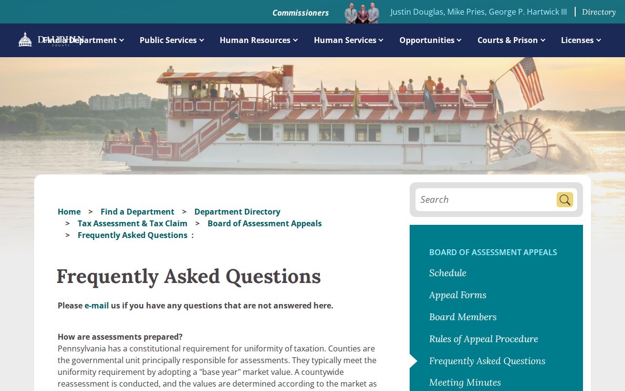
A visual match is only the first step. The map can support a block question, while the tax record and recorded deed give the more specific parcel identifiers needed to avoid mixing similar addresses or nearby lots.
Lower Paxton Neighbors UPI Handoff
Dauphin's UPI, also described as a PIN or parcel number, bridges the tax record, map, and recorded documents. The county identifies its Property ID as a tax-map location identifier that stays with the location when ownership changes. County notice says all real-estate recordings filed on or after May 1, 2009 need a certified parcel number on the front page. That makes a UPI a stronger link between systems than a casual street-name match.
In Recorder Acclaim, use the UPI, recorded party, instrument number, book and page, record date, or municipality/comments as appropriate. A recorded plan, covenant, easement, or subdivision document may describe the shared development around a block. It still does not name everyone who lives there. The owner's mailing address may be remote, and the situs address identifies the property itself.
Lower Paxton Neighbors Voter List Limits
Pennsylvania has an individual voter-status tool and separate statutory public-list routes. The individual status tool needs a person's first name, last name, date of birth, and county. It is for the registrant's own verification, not a street search. Lower Paxton is served by Dauphin County Registration and Elections, which maintains local election information and can explain the formal route for an allowed request.
The Dauphin County Registration and Elections source appears below. Public-information lists, street lists, walking lists, and full voter export data have named fields and a formal request process. The Department's form requires identification and a written purpose or attestation. Election-law conditions limit use to the stated election, political, or law-enforcement purposes, not general publication on the internet.
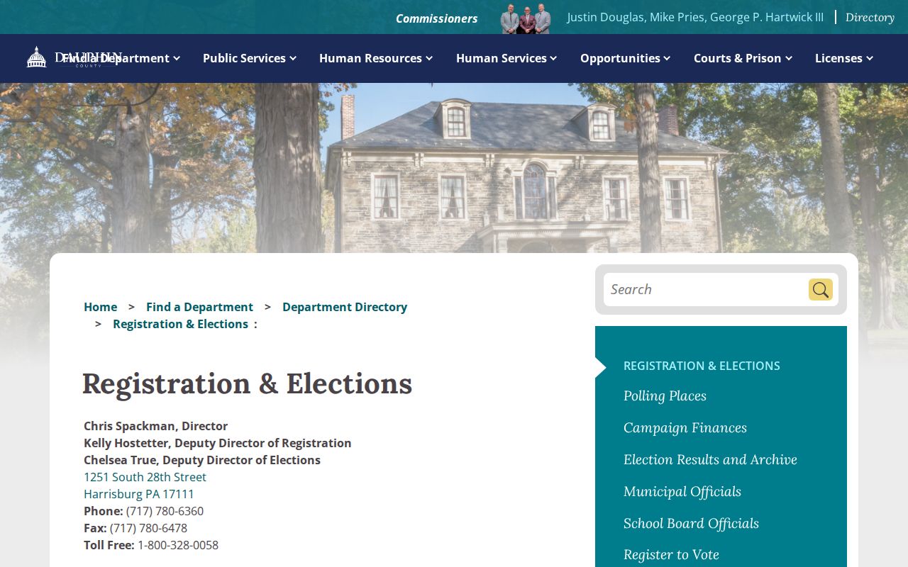
A registration update, move, or timing issue can change the information. A non-match or inactive entry does not establish the present occupants of a house. Signature images and SURE registration numbers are not part of the public-information list.
Lower Paxton Neighborhood Names and Records
Neighborhood names are geography, not proof of a membership roster. Official material identifies Linglestown, Paxtonia, Colonial Park, Colonial Park North, Colonial Park South, and Lakeview Heights as populated places, but the research did not locate an official township-wide association or HOA membership directory. Do not assume that a subdivision name yields a current resident list.
The Township's government directory is pictured below. Public boards, commissions, recreation organizations, the Historical Commission, municipal agendas, and SmartGov notices can provide civic or development context. The Agenda Center is the documented official route for an organized group that appears as an applicant, speaker, board, or public meeting subject.
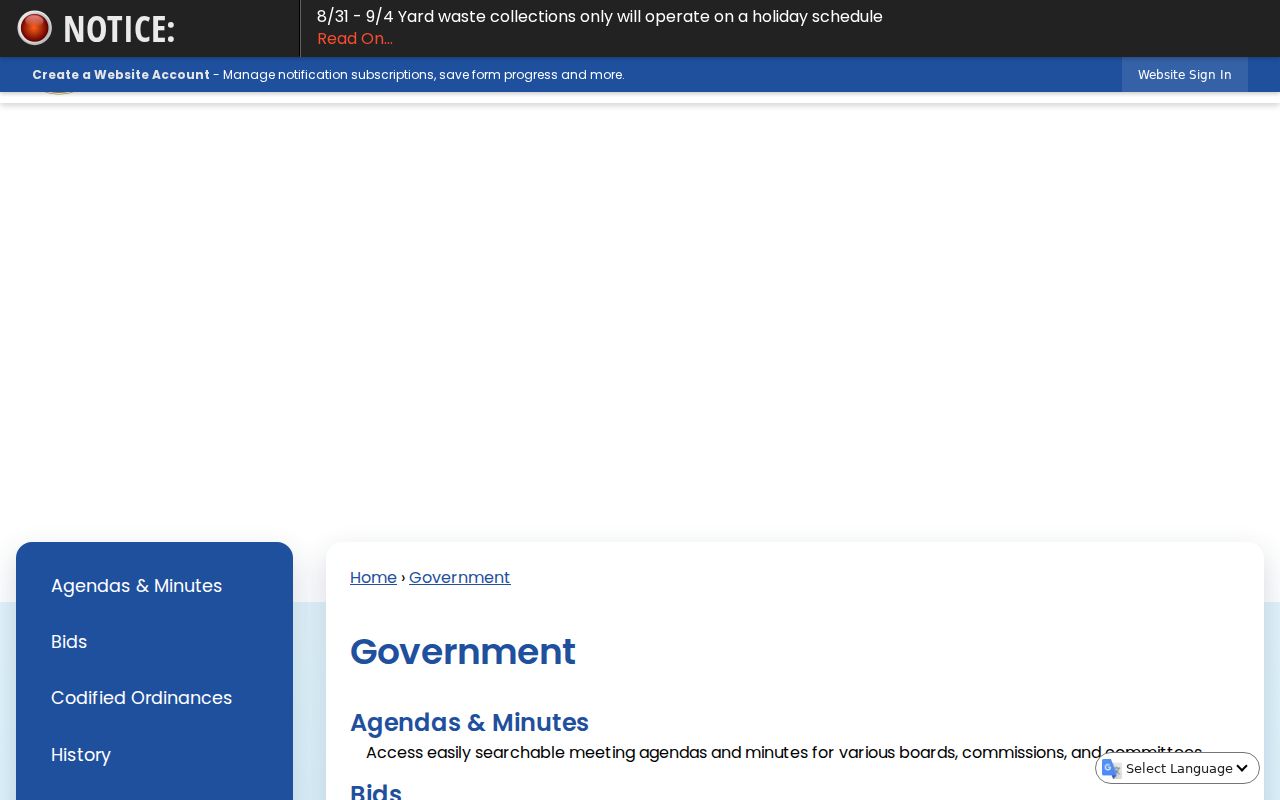
Use a voluntary public contact page if one exists for a particular organization. The research found no basis to claim that the Township maintains a private-neighborhood roster. That absence is useful: it keeps a block search focused on official property, map, and public-meeting records.
Lower Paxton Neighbors in Historic Directories
For a past block, Historical Society of Dauphin County and DCLS sources can add a dated printed address entry. HSDC lists Harrisburg city directories from selected years beginning in 1839 through 1999, and DCLS East Shore Area Library has Harrisburg directory microfilm from 1861 through 1901. A directory normally gives a name, address, and usually occupation. Some volumes add a street-number listing, but it must be checked volume by volume and may not cover every Lower Paxton locality.
The Historical Society's Alexander Research Library also preserves church, cemetery, family, school, organization, map, yearbook, and clipping material. Its holdings can clarify local history when a public owner record is too thin. They do not create a current neighbors directory. For a historic address, note the annual directory's scope and then compare it to a released census, recorded deed, or obituary rather than assuming a printed address stayed current.
Official Safety Sources Have Limited Scope
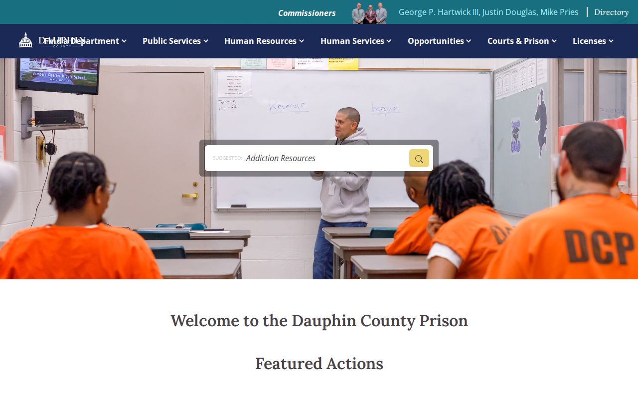
The official Dauphin County Prison page shown below is a custody-information source, not a neighbors directory. It links its inmate lookup through a non-county legacy domain, so confirm the domain before entering any information. A county detention result cannot establish a person's home, identity with a similar name, or complete history beyond that system's scope.
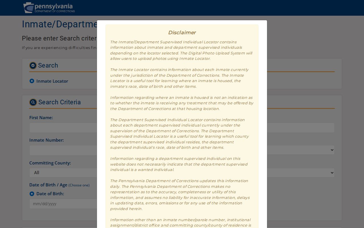
The Pennsylvania Inmate and Parolee Locator is shown next. It covers state-sentenced inmates and parolees, excludes county facilities and other states, and describes daily updates. It should be used only for its stated official purpose, not to infer a residential location from a name.
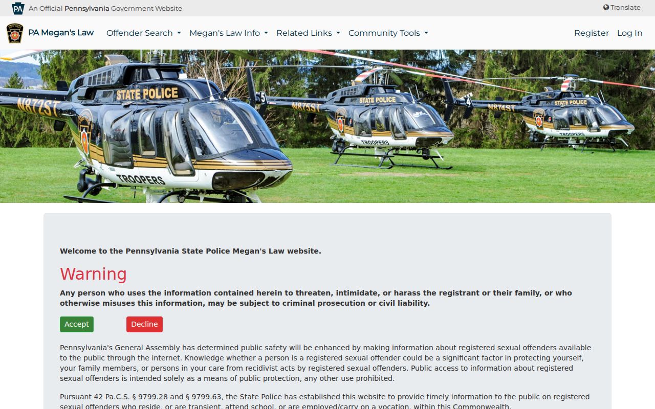
Pennsylvania State Police Megan's Law is likewise limited to its statutory registry. Its public purpose is safety, the site warns that results may be incomplete or outdated, and it prohibits threats, intimidation, or harassment. The official registry source pictured below is not a general block record and a no-result proves only that no entry was returned in its defined scope.
For an active emergency, call 911. Do not use a public record, registry, or map to make contact, issue threats, or confront another person. The official tool's stated limitations remain part of the result.
Lower Paxton Neighbors Privacy Limits
Property and map records do not publish every resident of a block. Utility customers, delivery records, private association membership, protected voter information, and many personal records are not a general public roll. Pennsylvania's Address Confidentiality Program can provide a substitute mailing address in listed government records for eligible participants. A blank or different address in a public record is not proof that someone has no home there.
The Pennsylvania Right-to-Know Law, 65 P.S. §§ 67.101-67.3104, presumes access to agency-held records subject to exemptions, other laws, privilege, and court orders. Request an existing identifiable document instead of a compiled neighbor list, and expect lawful redaction. The Commonwealth also addresses stalking at 18 Pa.C.S. § 2709.1 and harassment at 18 Pa.C.S. § 2709. Public records never allow following, intimidation, or harmful disclosure.